CoMaps: powered by open source and OpenStreetMap
You might have heard that CoMaps is open source, but did you know that when you use CoMaps you're actually using content from a multitude of different open source projects, all powered mostly by volunteers?
CoMaps uses OpenStreetMap (OSM) data to build offline map files, combining that data with other open source data projects, including:
- Wikipedia for offline articles
- TIGER for additional address data in the US
- Sonny's Lidar DTM, and also SRTM (Shuttle Radar Topographic Mission) for isolines throughout the world
Having said that, the single biggest source of map data in CoMaps is OpenStreetMap data!
Why we use OpenStreetMap and other open source data
Open licensed map data
OpenStreetMap is under the ODbL, which lets anyone freely use, distribute, and adapt the map data. This makes it ideal in two ways for CoMaps to use:
- We can provide the map data to you without any licensing fees (although servers and volunteer work to run the servers are still required).
- You can help the larger OpenStreetMap community to improve the map data. This helps all CoMaps users, along with all users of OpenStreetMap.org and all OSM based apps. That's millions of people!
Wikipedia is licensed under the Creative Commons Attribution-ShareAlike License. That means we can provide Wikipedia articles without licensing fees. It also means you can help improve CoMaps data by improving and adding new Wikipedia place articles.

You can help improve CoMaps by improving OpenStreetMap and other data sources we use
OpenStreetMap is a strong supporter of open source data, and so are we! OSM works primarily through crowd-sourced data, meaning from data it's users create. This means:
- Data is managed, reviewed, and updated by hundreds of thousands of volunteers, which helps keep the data accurate and impartial.
- OpenStreetMap data is in many places the most accurate data, as the people who update it usually live near where they contribute OSM data. Think of it like Google's "local guides", but much more hands on.
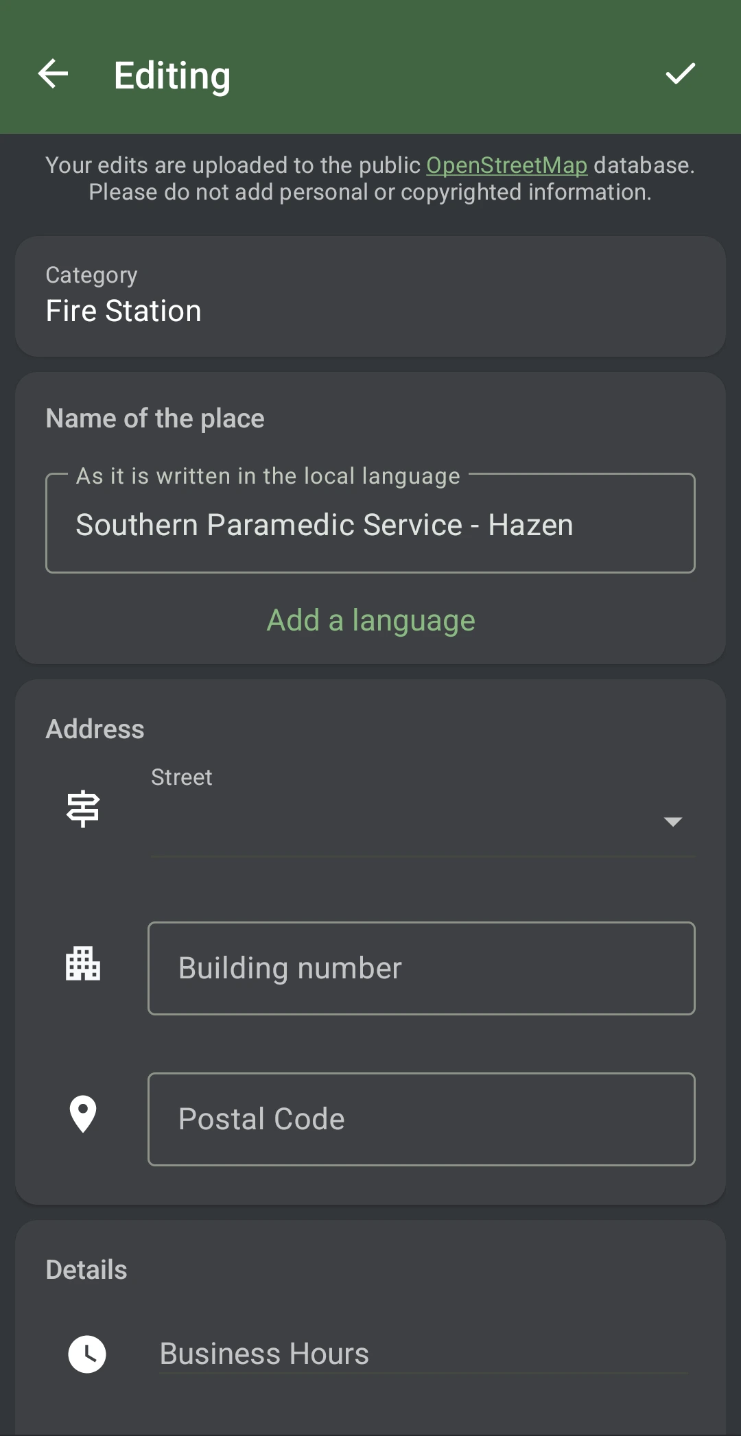
- If you see something wrong, you can fix it yourself. You just need an account, an app to make the changes, and some time to learn. (CoMaps is one OSM editor. You can also use iD on the OpenStreetMap website to edit the map.)
There are other projects you can volunteer for to help make CoMaps better too, including:
- Wikipedia - Improve or create new articles about physical places. Many of these articles get an excerpt on the place inside CoMaps! You can help by signing up at Wikipedia.org.
- Panoramax - Upload 360° images, or even wide-angle shots, to Panoramax and tag them with the location. Some of your images might get a link on the place in CoMaps, so other users can see the place too! You can help by logging into your OSM account on mapcomplete.org or one of the other Panoramax servers found here.

Sharing is caring
Open source data allows us all to work together for our common good. When you help improve something open source, whether it's CoMaps, OpenStreetMap, or something else, you're not just helping yourself, but all other users as well. That's why we, all of us CoMaps volunteers, are hooked on open source! Whether you contribute more for ethical reasons or just as a hobby, open source is quite fun!