درباره ما
Free and open navigation with privacy -
Built by the community
عملیات
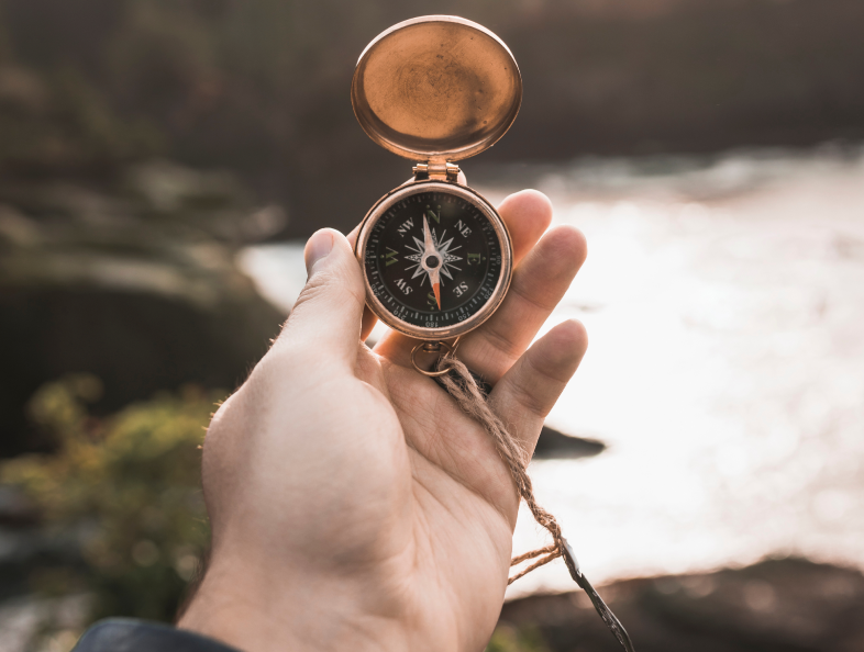
آزادی را به راحتی به صورت آفلاین، با نقشه های متمرکز بر حریم خصوصی برای رانندگان، کوهنوردان و دوچرخه سواران، که توسط جامعه استفاده می شود، باز کنید.

دید
دنیایی ایجاد کنید که در آن هدایت با نقشه ها آزاد است و حریم خصوصی به طور پیش فرض بهترین انتخاب در این سیاره است.
Free and open navigation with privacy, built by the community
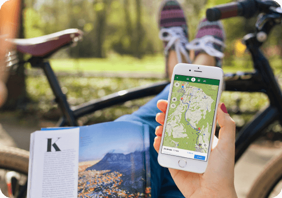
CoMaps is a community-focused privacy navigation app for travelers - drivers, hikers, and cyclists. It offers navigation with privacy - no identifying people and no data collection. CoMaps features can operate without an active internet connection for offline navigation at urban or distant locations, where cellular service is not available. CoMaps is an open-source project, and prioritizes community development.
Powered by open data commons
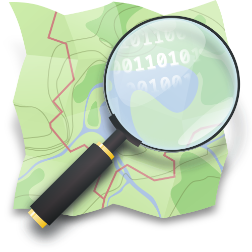
CoMaps is made possible thanks to the labor of communities who help create and maintain the open data that powers our app: Our maps use OpenStreetMap data, made and maintained by thousands of contributors from all over the world. In order to link to, and provide offline details about cities, attractions and many other points-of-interest, we rely on the articles and photos of the global Wikipedia, Wikidata, and Wikimedia Commons communities.
تاریخ
MapsWithMe navigation app created (later renamed to Maps.me).
Maps.me opened the source code under Apache 2.0 license.
The Organic Maps project & company were founded, based on the Maps.Me source code.
Governance issues and community concerns not addressed by company shareholders stalled the development of Organic Maps for months.
The CoMaps community & non-profit project was founded by former Organic Maps contributors, based on the Organic Maps source code.
Media Highlights

Ready to ditch Google Maps? My new favorite map app won't track you
Every month, Google sends me a report about where I've been ...

Look Google, We Have This New Private, Offline Alternative Now
Born out of governance concerns in Organic Maps, CoMaps has been created. ...

Trailblazing Offline Map App Promises Privacy and Community Control
Privacy-conscious map users now have an innovative choice with CoMaps