關於我們
隱私保護下的免費開放導航 -
由社群共同營造

我們的使命
在社群的支持下提供注重隱私的地圖,讓運轉手、背包客和單車族解鎖輕鬆離線導航的自由。

我們的願景
創造一個可以免費使用地圖導航、設計由隱私出發是首選的世界。
隱私保護下的免費開放導航,由社群共同營造
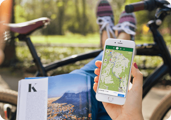
CoMaps is a community-focused privacy navigation app for travelers - drivers, hikers, and cyclists. It offers navigation with privacy - no identifying people and no data collection. CoMaps features can operate without an active internet connection for offline navigation at urban or distant locations, where cellular service is not available. CoMaps is an open-source project, and prioritizes community development.
Powered by open data commons
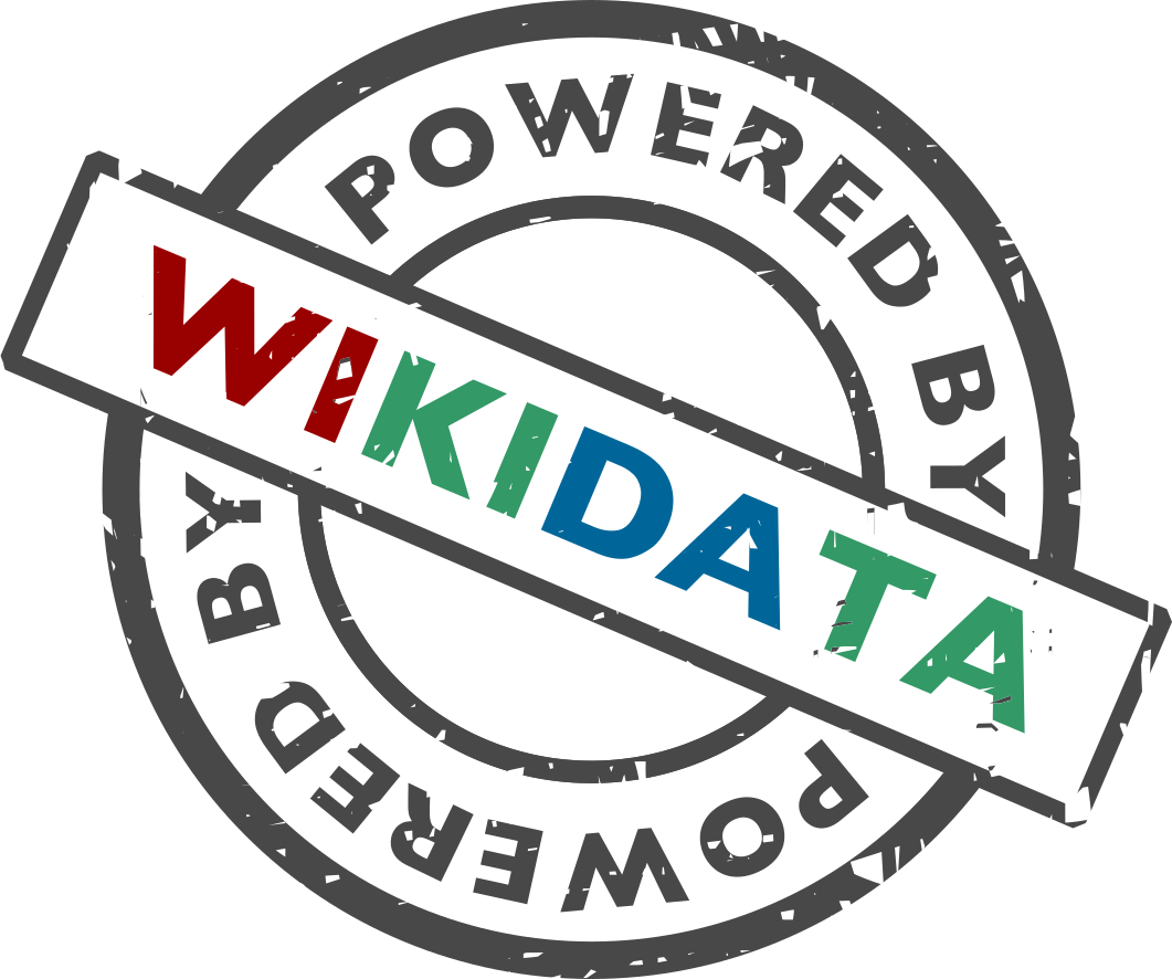
CoMaps is made possible thanks to the labor of communities who help create and maintain the open data that powers our app: Our maps use OpenStreetMap data, made and maintained by thousands of contributors from all over the world. In order to link to, and provide offline details about cities, attractions and many other points-of-interest, we rely on the articles and photos of the global Wikipedia, Wikidata, and Wikimedia Commons communities.
歷史沿革
MapsWithMe 導航應用誕生(後來更名為 Maps.me)。
Maps.me 依據 Apache 授權條款 2.0 開放原始碼。
基於 Maps.Me 原始碼的 Organic Maps 專案和公司被成立。
公司股東迄今未回應社群成員關於治理問題提出来的疑慮,導致 Organic Maps 的發展停滯數個月。
CoMaps社群與非營利專案以 Organic Maps 原始碼為基礎,由 Organic Maps 昔日的貢獻者所建立。
媒體報導重點

Ready to ditch Google Maps? My new favorite map app won't track you
Every month, Google sends me a report about where I've been ...

Look Google, We Have This New Private, Offline Alternative Now
Born out of governance concerns in Organic Maps, CoMaps has been created. ...

Trailblazing Offline Map App Promises Privacy and Community Control
Privacy-conscious map users now have an innovative choice with CoMaps