Hike, Bike, Drive Offline – Navigate with Privacy
Discover more of your journey - Powered by the community
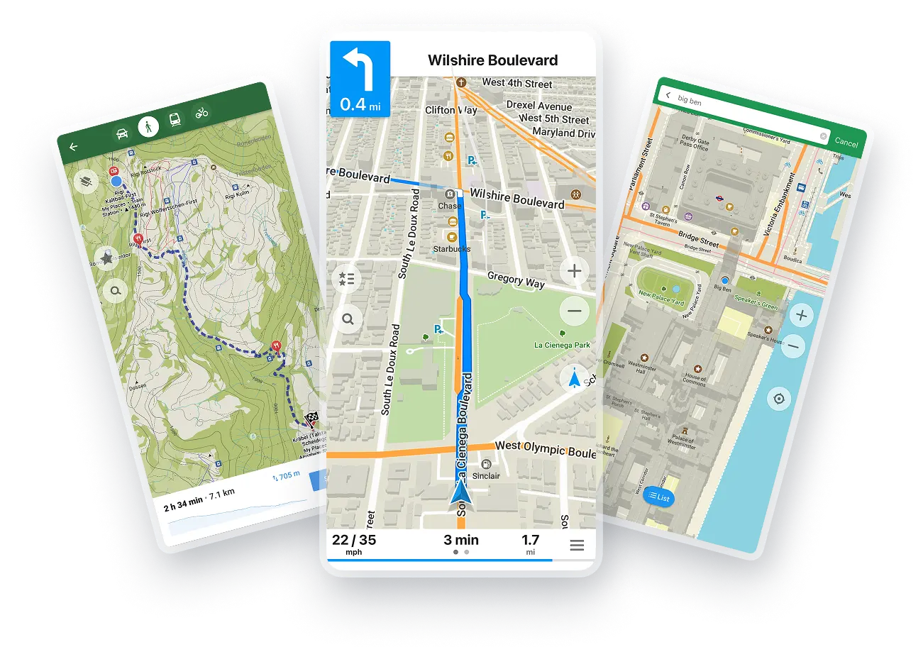
コミュニティー + オープンマップ












Offline Search and Routing
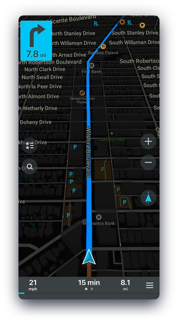
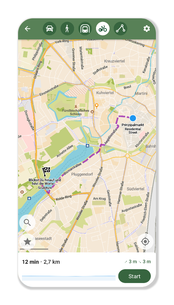
Plan and navigate your trip abroad with just GPS, no need for mobile data. Search waypoints while on remote hiking trails or bike paths. Navigate with turn-by-turn instructions by foot, bike or car, including voice announcements.

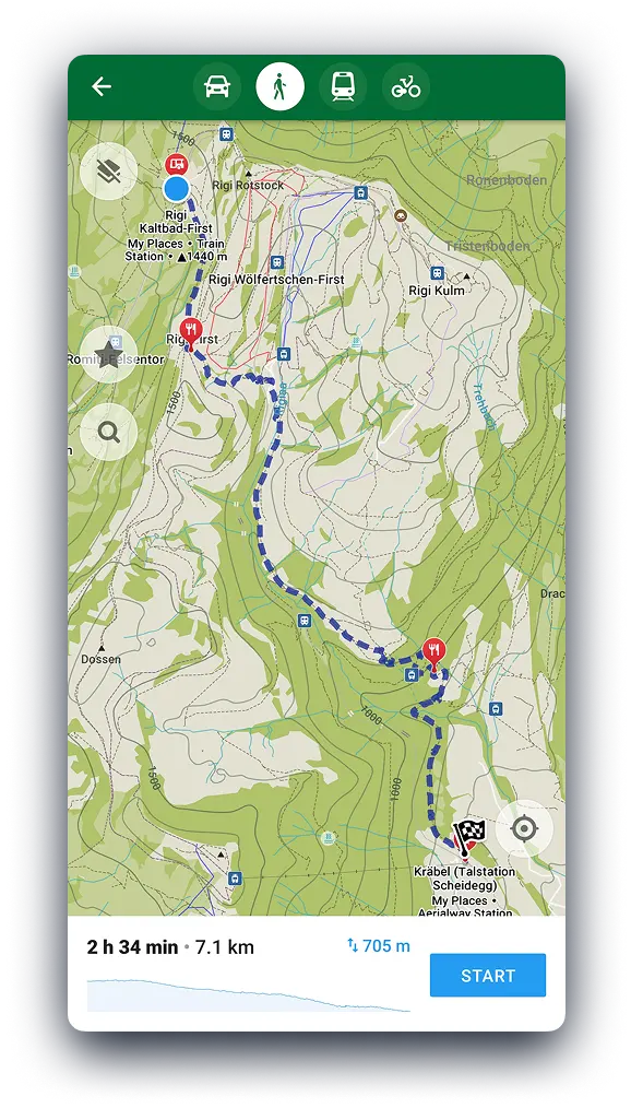
Hike with the Information you Need
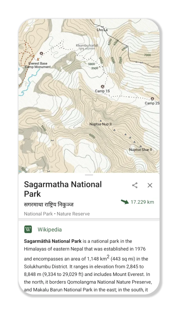
Use the outdoor mode to highlight hiking trails, campsites, and water sources. Enable contour lines to plan your trip. Spot an interesting peak along the way? Use the offline Wikipedia articles to learn more about it!

バッテリーの節約
バッテリーを効率よく使用し、他のナビゲーションアプリのようにバッテリーを消費しません。

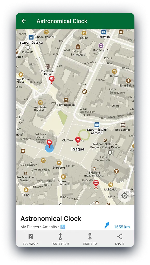
Get around the City
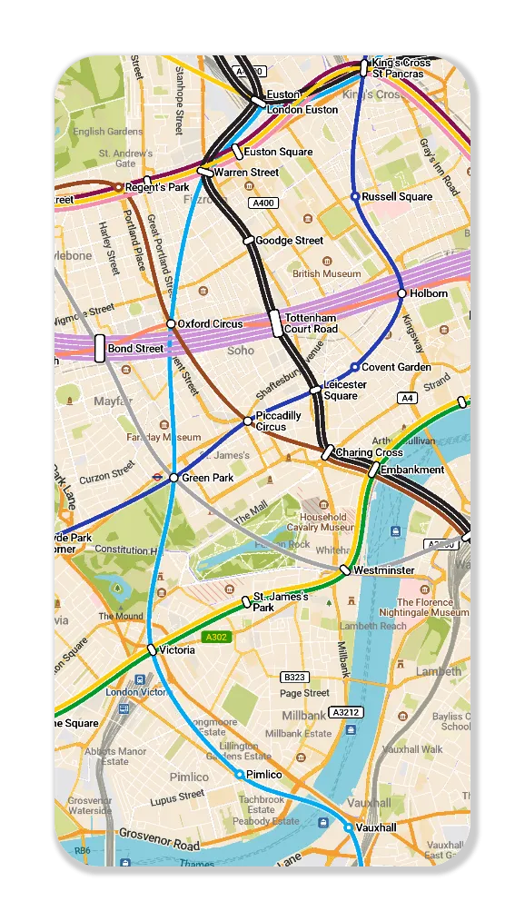
Use the public transport layer to plan your subway and light rail journeys in a growing list of cities.

データ収集されません
The app is designed with privacy in mind - does not identify people, does not track you, and does not collect any information. CoMaps was also audited by

A True Alternative
CoMaps is recommended by Switching Software, European & Open Source Alternatives, Digital Independence Day ,and Framastart as an ethical, easy-to-use and privacy-conscious alternative to commercial maps.

自由があり、コミュニティーにより開発されています
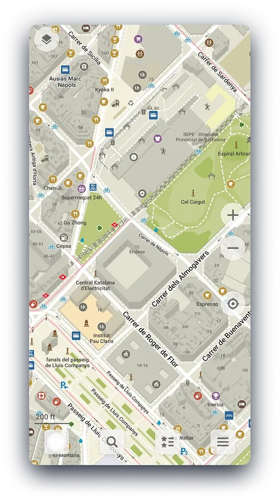
People like you are helping build the app by adding locations to , giving feedback on features, and contributing code on to create great maps together. The project is a fork of Organic Maps and Maps.Me, and driven by an open-source community.

Trusted by these projects
CoMaps comes preinstalled on these operating systems as their default map app.