CoMapsについて
コミュニティーにより開発された -
プライバシーが保護された自由でオープンなナビゲーション

ミッション
ドライバー、ハイカー、サイクリストのために、コミュニティーが作るオフラインで簡単に利用できるプライバシーに注力したナビゲーションの自由を開放します。

ビジョン
マップを利用したナビゲーションが自由かつデフォルトでプライバシーを保証し、地球上で最優先の選択となる世界を作ること。
コミュニティーにより開発されたプライバシーが保護された自由でオープンなナビゲーション
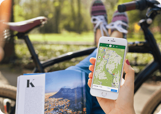
CoMaps is a community-focused privacy navigation app for travelers - drivers, hikers, and cyclists. It offers navigation with privacy - no identifying people and no data collection. CoMaps features can operate without an active internet connection for offline navigation at urban or distant locations, where cellular service is not available. CoMaps is an open-source project, and prioritizes community development.
Powered by open data commons
CoMaps is made possible thanks to the labor of communities who help create and maintain the open data that powers our app: Our maps use OpenStreetMap data, made and maintained by thousands of contributors from all over the world. In order to link to, and provide offline details about cities, attractions and many other points-of-interest, we rely on the articles and photos of the global Wikipedia, Wikidata, and Wikimedia Commons communities.
沿革・歴史
ナビゲーションアプリMapsWithMenavigationが開発されました(後にMaps.meへの改名)。
Maps.meがソースコードをApache 2.0ライセンスのもとで公開しました。
Maps.Meのソースコードを元に、Organic Mapsプロジェクトとその会社が設立されました。
ガバナンスの問題とコミュニティーの懸念が会社の利害関係者により解決されず、Organic Mapsの開発が数カ月間停滞しました。
Organic Mapsのソースコードを元に、CoMapsコミュニティーおよび非営利プロジェクトがOrganic Mapsの過去のコントリビューターにより設立されました。
Media Highlights

Ready to ditch Google Maps? My new favorite map app won't track you
Every month, Google sends me a report about where I've been ...

Look Google, We Have This New Private, Offline Alternative Now
Born out of governance concerns in Organic Maps, CoMaps has been created. ...

Trailblazing Offline Map App Promises Privacy and Community Control
Privacy-conscious map users now have an innovative choice with CoMaps